 Advanced Marine Navigation
Do you want to navigate unfamiliar waters in limited visibility or take an extended cruise with confidence? Learn to use manual navigation, radar, chart plotters, AIS, and other electronic tools in a variety of coastal tide, current and wind conditions. Learn course planning, extended cruise navigation, hazard and collision avoidance, and navigational aids. Our experienced instructors and extensive knowledge base makes you a better captain.
What's included?
- Advanced positioning techniques, such as advancing a line of position to obtain a running fix
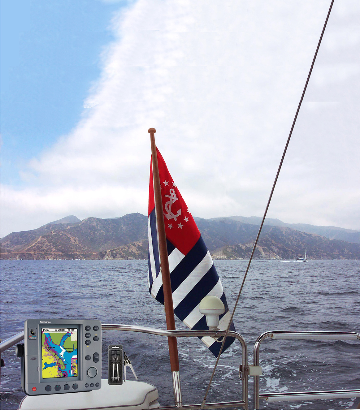
- Use of a variety of electronic tools: radar, depth sounders, autopilots, chart plotters, laptop computer software, and more
- Hazard avoidance techniques using electronics (e.g. avoidance waypoints or safety zones in GPS)
- Collision avoidance using radar, GPS, and AIS
- Working with the tide and current data to determine clearances, depth of water, and effects of current
- Piloting in various wind and current conditions
- Simple skills for checking that one is on course
Ten classes of two hours each normally are scheduled for the presentation of this course. In addition, the students have seven days to complete an open book exam.