 Offshore Navigation
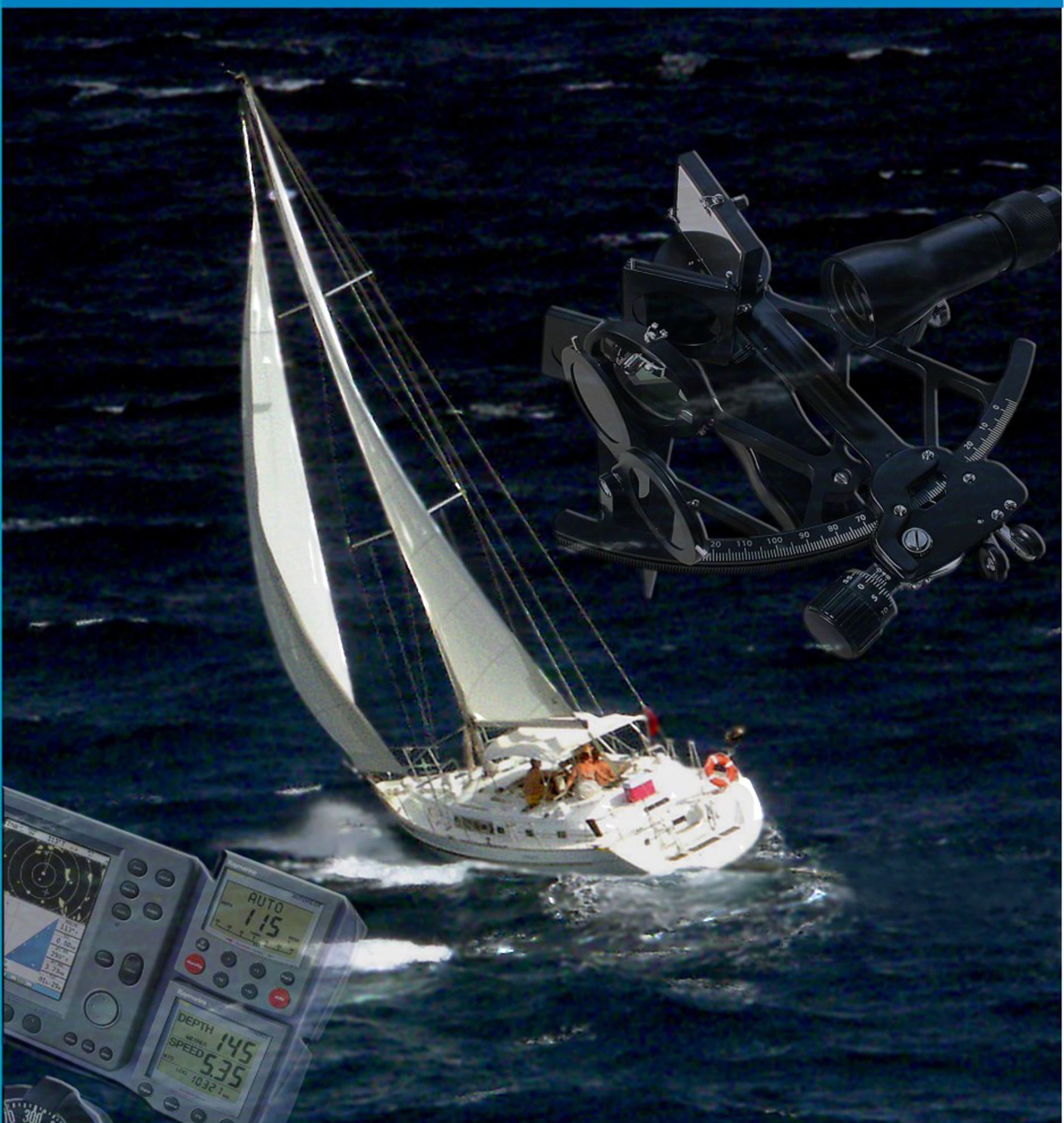
Always know your location. Learn the practical aspects of daytime celestial navigation using a sextant and the sun to calculate your position.
In Offshore Navigation, you will continue to use GPS but also learn celestial navigation as your backup technique. Because terrestrial landmarks are no longer visible to the offshore navigator, you will learn to use a marine sextant and the sun as your reference point, derive a line of position and develop a running fix. You will also learn to calculate your latitude from a noon sight on the sun.
What's included?
- Determining precise time
- Using the Nautical Almanac
- Determining latitude from a noon sight
- Using special charts and plotting sheets for offshore navigation
- Setting offshore navigational routines for recreational craft
This interesting and challenging course emphasizes the practical aspects of daytime celestial navigation. You will also learn to prepare a sight folder that documents your positioning skills using sights taken on the sun. The course will take approximately 14 weeks to complete and you will have two additional weeks to complete an open book exam.