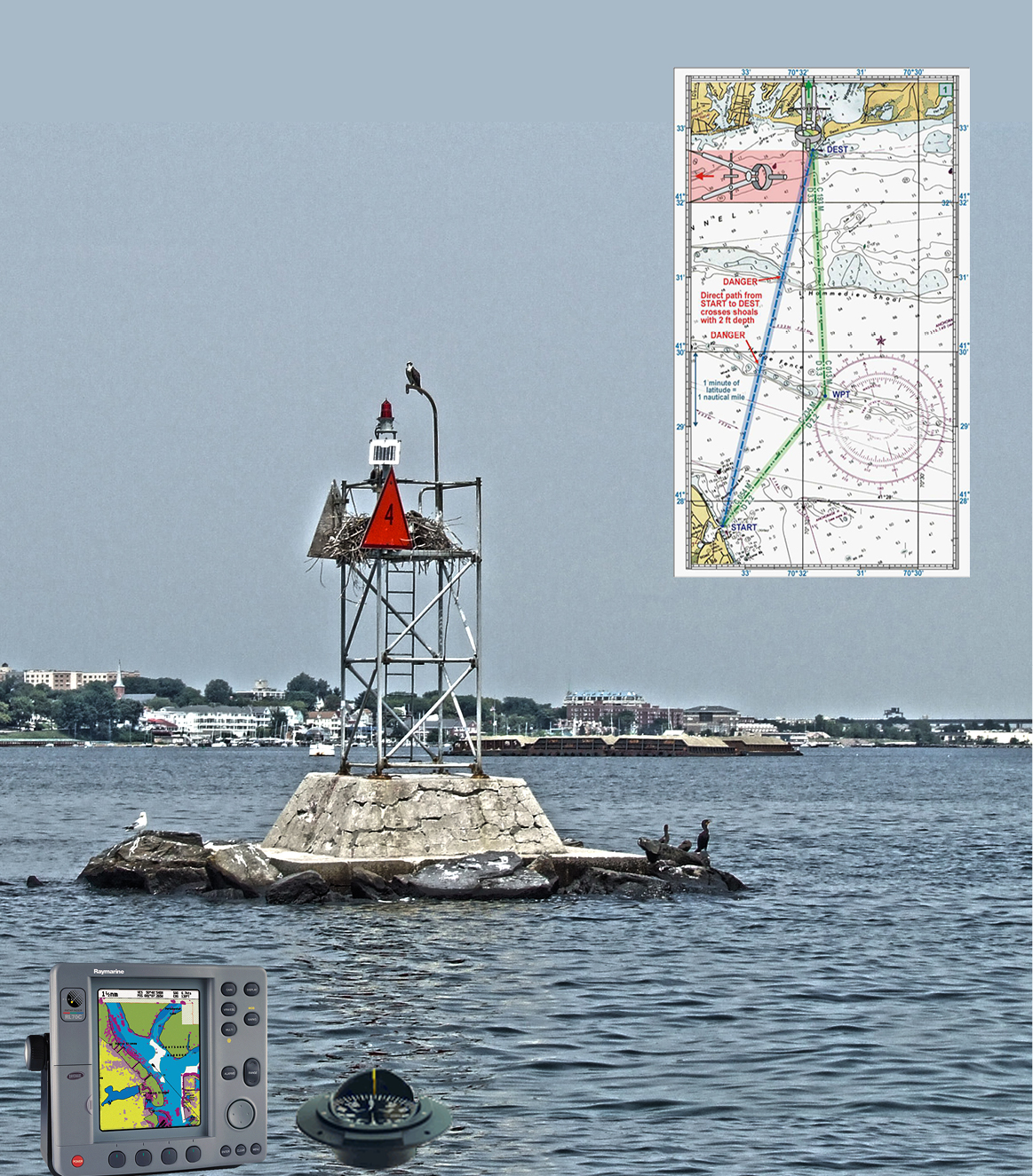
 Marine Navigation
You won’t ever get lost or run aground when you know marine navigation, whether for short day trips or long multi-day cruises.
Learn the essentials of safe coastal and inland navigation using basic GPS in conjunction with charts and other marine data. The Marine Navigation course teaches you how to use the GPS along with traditional dead reckoning techniques for planning and laying out safe routes, as well as ensuring that you are on-course while underway.
What's included?
- Charts and their interpretation
- Landmarks and navigation aids (buoys, day marks, lights, etc.)
- Plotting courses and determining direction and distance
- The mariner's compass and converting between True and Magnetic
- Use of GPS - basic GPS displays and information they provide, setting up waypoints and routes, staying on a GPS course
- Pre-planning courses and entering them into the GPS
- Monitoring progress and determining position by both GPS and traditional techniques such as bearings and dead reckoning
- The "Seaman's Eye" - simple skills for checking that one is on course
This course is also available online.